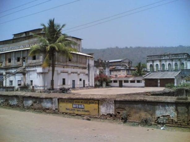
Deogarh Tourism
Prior to Mukunda Dev’s passing, the Balasore district was a part of the ancient Kalinga, which thereafter became Toshala or Utkal’s domain. The Moghuls acquired it in 1568, and it stayed under their suzerainty until the middle of the eighteenth century, namely until 1750–1751.
This region of Odisha was then taken over by the Marahattas, and it came under the control of the Marahatta Rajas of Nagpur. Through a deal known as the Deal of Deogaon, the East India Company gave over this territory in 1803, and it remained a part of the Bengal Presidency until 1912.
However, in 1634, when Sahajahan was the emperor of Delhi, the first English settlement appeared in the Balasore district.

Setting up of Deogarh District, sometimes Debagarh District, of January 1, 1994, is from the district Sambalpur. Debagarh used to be the capital of the princely state of Bamanda or Bamra under British India.
The king of this princely state is a descendant of the Ganga vamsi dynasty and is of the Gajapati dynasty of Odisha. This district, bordered by Angul District to the east and south, Sambalpur District to the west, and Sundargarh District to the north, lies in the Koshal area and is located at the western part of the state with headquarters at Deogarh.
Famous Tourist Places in Subarnapur District
- Deojharan Waterfall
- Kalajira Dam
- Saruali Dam
- Deogarh Palace
- Basanta Nivas
- Satchidananda Library
- Akshar Shila Rock
- Kuntroo Waterfall
- Kuladera Waterfall
- Pradhanpat Waterfall
- Jagannath Temple
- Katasar Ghat, Deogarh
- Gohira Dam
- Daragadi Stream
- Kurudkut Waterfall
- Kailash Palace
- Olata Bata, Deogarh
- Jhadeswar Temple
Historical Significance and Discoveries
Deogarh District, sometimes also called Debagarh District, was formed on January 1, 1994, after separation from Sambalpur District. Debagarh was the erstwhile capital of the Bamanda or Bamra princely state during British rule in India. The king of this princely state is a member of the Ganga Vamsi dynasty, descended from the Gajapati emperor of Odisha.
The eastern and southern boundaries are formed by Angul District, while the western boundary is formed by Sambalpur District, and the northern boundary is formed by Sundargarh District.
This is a district in the Koshal area, located in the western part of the state, with its headquarters in Deogarh.
Best Time to Visit Deogarh
Deogarh's weather
How to Reach Angul, Odisha
By Road
You can easily get regular buses to Deogarh from other major cities of the country.
By Air
The nearest Airports for visiting places of interest in the Deogarh District are at Bhubaneswar(265 km), Raipur(376 km) and Jharsuguda(98 km).
By Train
The nearest railheads for Deogarh are at Sambalpur(90 km), Bamra on the Tatanagar-Bilaspur section of Howrah-Nagpur-Mumbai line(103 km), Jharsuguda(98 km) and Rourkela(115 km).
List of Districts of Odisha
- Angul Tourism
- Boudh Tourism
- Balangir Tourism
- Bargarh Tourism
- Balasore Tourism
- Bhadrak Tourism
- Cuttack Tourism
- Deogarh Tourism
- Dhenkanal Tourism
- Ganjam Tourism
- Gajapati Tourism
- Jharsuguda Tourism
- Jajpur Tourism
- Jagatsinghpur Tourism
- Khordha Tourism
- Keonjhar Tourism
- Kalahandi Tourism
- Kandhamal Tourism
- Koraput Tourism
- Kendrapara Tourism
- Malkangiri Tourism
- Mayurbhanj Tourism
- Nabrangpur Tourism
- Nuapada Tourism
- Nayagarh Tourism
- Puri Tourism
- Rayagada Tourism
- Sambalpur Tourism
- Subarnapur Tourism
- Sundargarh Tourism